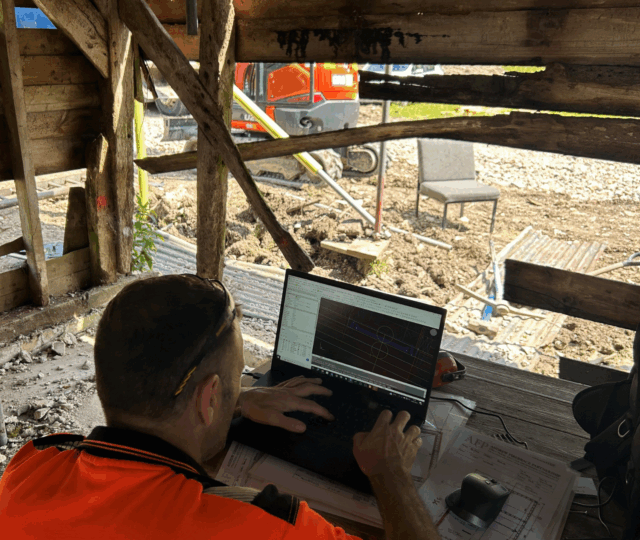
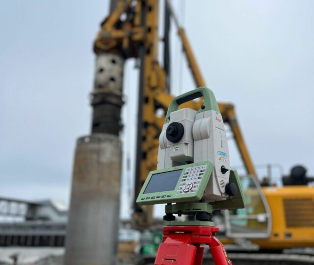
At Geo-Info, we deliver high-quality 2D and 3D topographical surveys using the latest technology and following industry best practices as set out by RICS. Each survey is carried out with precision to provide accurate, reliable, and actionable data for your project.
Topographical surveys are a crucial part of construction, civil engineering, and infrastructure projects, offering a comprehensive view of the land and its features. They provide the foundational data for other essential surveys, including underground and utility surveys, and play a key role at the start of the design and construction phases. When combined with measured building surveys, they help inform smarter design decisions and effective project planning.
All surveys are delivered in both 2D and 3D formats, giving you flexibility and ensuring every detail of the site is captured. Tailored to the specific needs of each project, our topographical surveys focus on quality, precision, and client satisfaction, helping to ensure the successful delivery of your project.
Benefits of a topographical survey?
The benefits of a topographical survey are numerous. It provides accurate 2D and 3D mapping of a site’s natural and man-made features, giving architects, engineers, and contractors the information needed to make informed design decisions. By identifying potential site challenges early, it helps reduce risk, save time, and minimise costs throughout a project. Topographical survey data can be delivered in BIM-ready, CAD, or GIS formats, allowing seamless integration into digital workflows. Conducted to RICS standards, these surveys offer a comprehensive understanding of the land, support regulatory compliance, and form a solid foundation for other surveys, including measured building and utility surveys.