Our Ground Penetrating Radar (GPR) and PAS128-compliant utility survey services are designed to support professionals involved in planning, design, construction, and infrastructure maintenance across a wide range of projects. Fully conversant with PAS128:2022 standards, we provide expert consultation and advice to ensure the most effective survey methodology is applied to meet each client’s specific requirements.
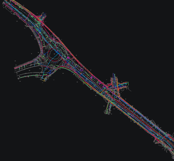
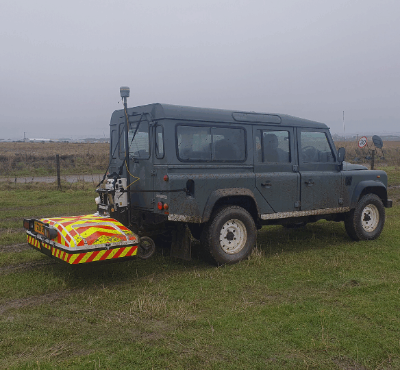
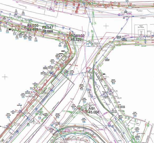
We deploy a versatile range of GPR equipment, including high-frequency scanners for concrete analysis and vehicle-mounted systems for large-scale highway and infrastructure surveys. This flexibility allows us to tackle projects of any scale with precision and reliability. All GPR data is carefully post-processed using the latest software, delivering both 2D and 3D survey results for comprehensive, actionable insights.
At Geo-Info, we prioritise transparency and client communication, ensuring deliverables are clearly explained and stakeholders are fully informed throughout the surveying process. Our approach guarantees accurate underground utility mapping and risk reduction.
Our Underground Utility Surveys can be used for:
• Detecting metallic and non-metallic services
• Full utility detection and mapping
• Underground Utility Mapping
• Void detection/location
• Past site occupancy surveys
• Single service tracking
What is a Ground Penetrating Radar (GPR)?
Ground Penetrating Radar (GPR) is a non-intrusive geophysical technique used to image the subsurface. It employs multi-frequency antennas (ranging from 200 to 600 MHz) and multi-polarization technology to provide detailed and accurate images of the ground below.
The use of multiple frequency antennas allows for the detection of both shallow, small-diameter services and those buried at greater depths. Additionally, GPR surveys can identify voids or other buried obstructions that may be present.
The process works by transmitting an electromagnetic pulse into the ground. The radar then records the strength and the time it takes for the signals to return after interacting with different materials beneath the surface. This data provides vital insights into the composition and structure of the subsurface, ensuring safe and informed decision-making for your projects.